NASA’s CASALS instrument bridges gaps in 3D maps of Earth’s surface
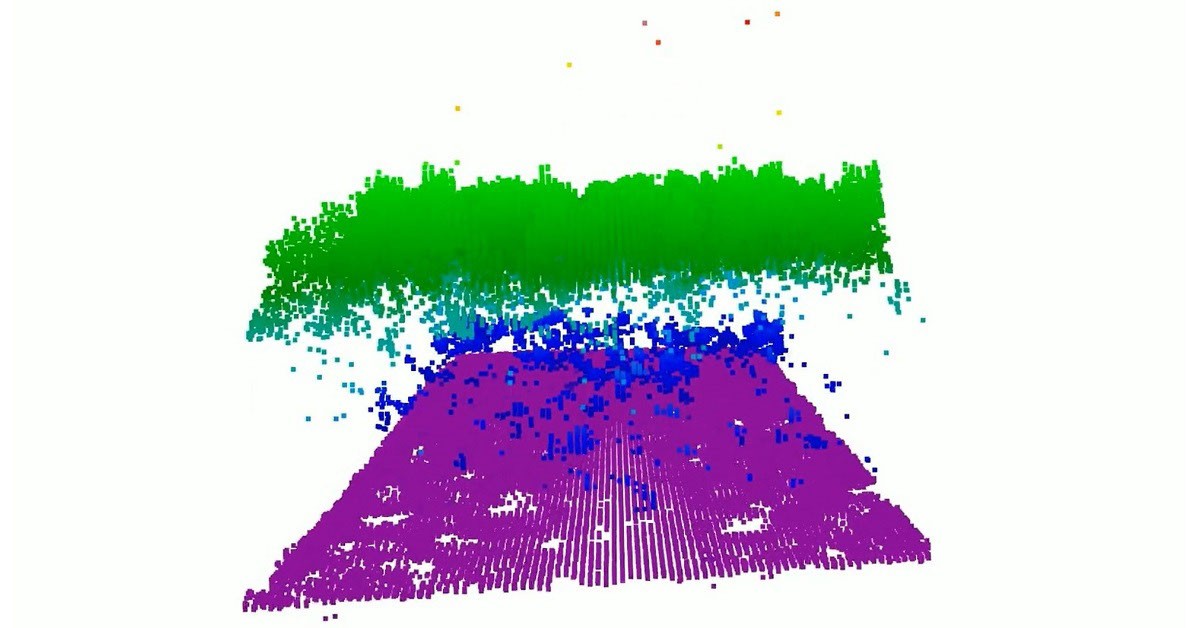
Image: NASA
ad slot · in-content video 16:9
Coverage
Wires & papers of record
- From orbit, today’s space-based laser instruments measure Earth’s forests and terrain one narrow line at a time. Between those lines are enormous gaps that include millions of acres of land scientists never directly measure. NASA’s CASALS instrument will blend machine learning with an…
More coverage
- A team of researchers at NASA's Goddard Space Flight Center (GSFC) has developed a new instrument designed to eliminate blind spots between lines of lidar data on Earth's surface. Built with support from NASA's Earth Science Technology Office (ESTO), the Concurrent Artificially-intelligent…